
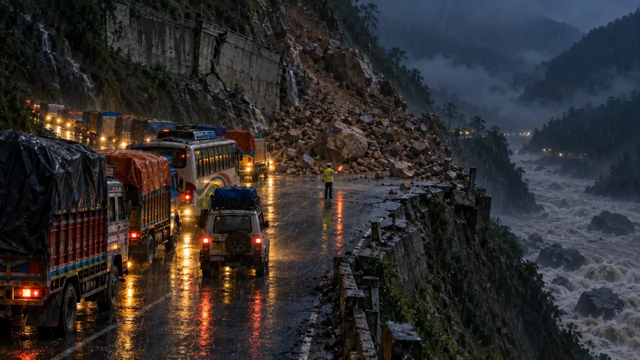
Roads in this condition change within hours. Before you set out, please ring Traffic Police on 103.
Prithvi Highway
One way at a time at Krishnabhir and at Chalise in Dhading; open to all vehicles since 30 September
Rain from 24 September brought landslides down at Krishnabhir, Chaukibhir, Jawang Khola and Fisling and closed the road from 26 September. The Dhading administration let every type of vehicle back on from 1 pm on 30 September, and warned that fresh landslides could come down at any time. On 1 October Ratopati reported traffic one way only at Chalise in Gajuri-2, Dhading, after another landslide, and the Department of Roads had already said on 29 September that Krishnabhir was running one way while the second lane is restored. We found no report on Krishnabhir, Chaukibhir, Jawang Khola or Fisling after 30 September. The Narayanghat to Muglin road reopened both ways at 12:15 pm on 27 September (Nepalnews). The Department of Hydrology and Meteorology said on 2 October that no significant rain-bringing system is expected and that the monsoon could withdraw completely by Dashain, though occasional drizzle is possible. This is the road anyone coming from Pokhara, Chitwan or Butwal travels on, so please ring Traffic Police on 103 on the morning you set out.
Sources: Dhading administration via Khabarhub, 30 September; Ratopati, 1 October; Nepalnews, 27 September (Narayangadh to Muglin); OnlineKhabar, 2 October (weather).
Kanti Lokpath (Kathmandu to Hetauda)
Reported blocked by a landslide at Takurche in Lalitpur on 2 October
Nepalnews reported on 2 October that the road is completely blocked by a landslide at Takurche, Bagmati Rural Municipality-3, Lalitpur. It had reopened one way on 29 September after being shut for several days, after the rain of 24 to 27 September (OnlineKhabar), so this is either a new slide or a second closure, and the report gives no hour. Treat the road as closed until Traffic Police on 103 or the Makwanpur police say otherwise. The Balkhu, Kulekhani, Bhimphedi and Hetauda road was reported open by the Department of Roads on 29 September and we have found nothing newer.
Sources: Nepalnews, 2 October; OnlineKhabar, 29 September (reopened one way).
Mahendra Highway (Chitwan section)
No report found after the closure of 26 September
The Chitwan administration stopped travel on the Mahendra and Prithvi highways on 26 September (Kathmandu Post). The Prithvi side has since reopened. We have not found any report that the Mahendra Highway order was lifted or still stands, so ask 103 about it before you set out.
Sources: Kathmandu Post, 26 September.
BP Highway (Kavrepalanchok)
Open again since about 10 am on 29 September, on a permanent track still under construction
The flooded Roshi blocked the Bhakundebesi to Mangaltar section at eight places and stopped traffic for five days, with vehicles first sent along a temporary track in the river bed. The Kathmandu Post reported that vehicles began using a permanent track still under construction at around 10 am on 29 September. It did not say whether the road is one way or two. We found nothing newer. This is the road into the Valley from the east and from Sindhuli.
Sources: Kathmandu Post, 29 September.
Tribhuvan Highway (Nagdhunga and Pataleban)
One way, inbound only, when last reported on 25 September
OnlineKhabar quoted the traffic police spokesperson on 25 September that landslides near Nagdhunga and Pataleban had cut the road to one-way traffic into the Valley. We found no report from 30 September to 2 October. This is the western entry into the Kathmandu Valley, so allow extra time if you come in from Naubise or the Prithvi Highway.
Sources: OnlineKhabar, 25 September.
Rasuwa highways (Trishuli to Rasuwagadhi)
Closed beyond Betrawati; a temporary track reached Betrawati on 30 September
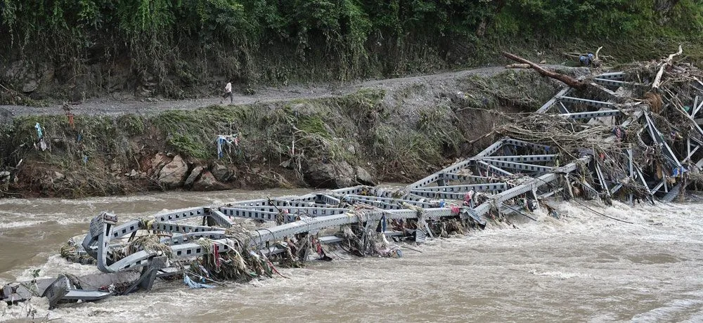
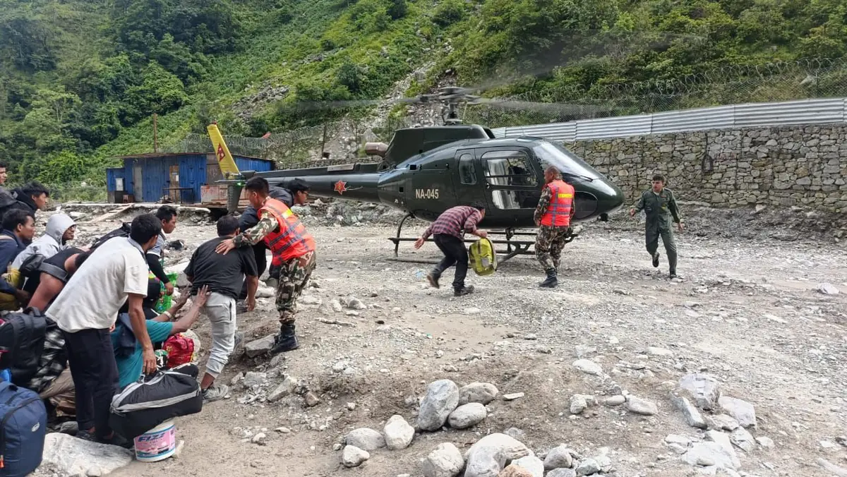
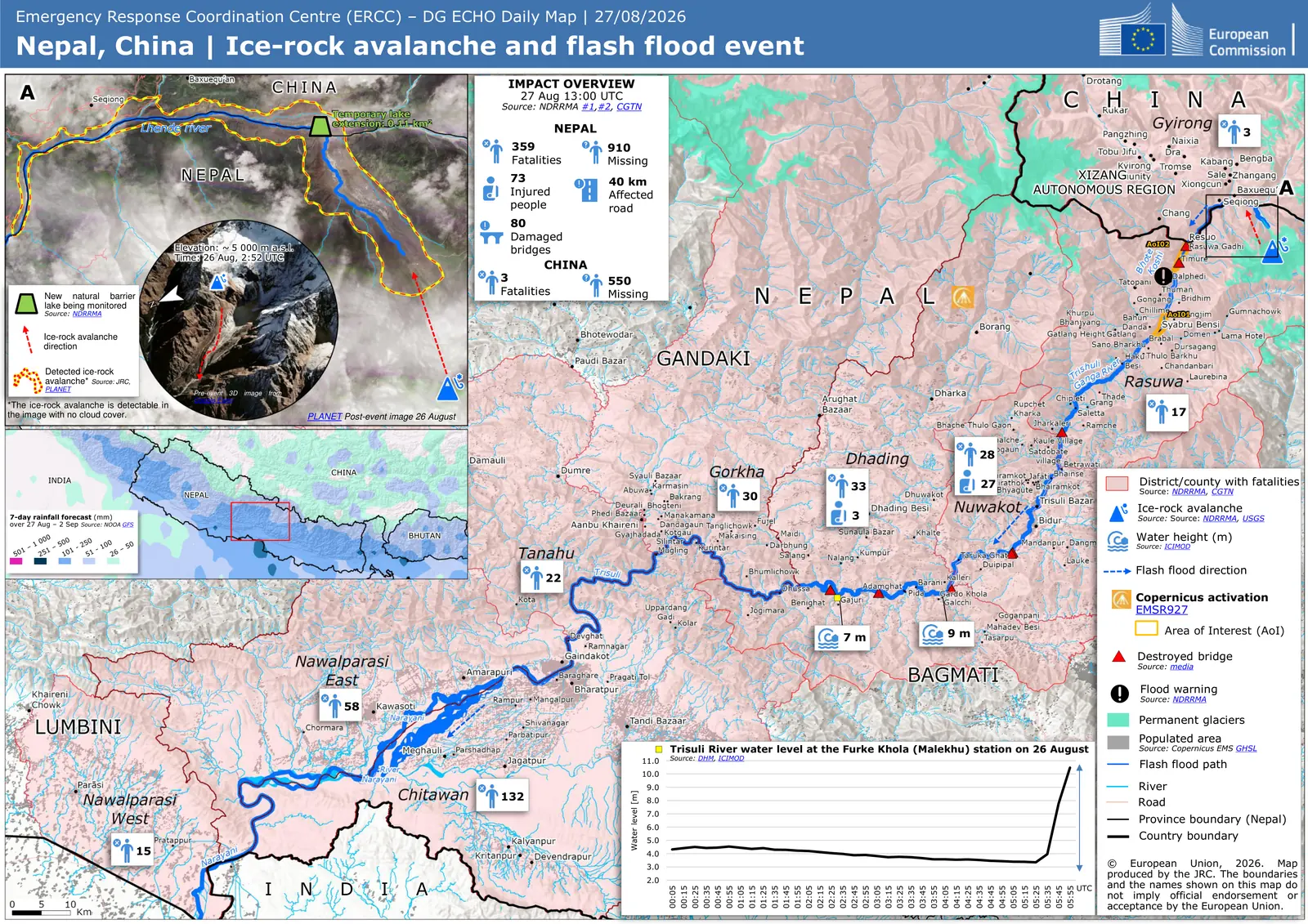
The police told Nepalnews on 2 October that the main highways in Rasuwa stay closed until further notice. Ratopati reported on 30 September that a track cut by the Nepali Army and the Department of Roads reached Betrawati after a month. A 73-metre Acro bridge there is expected in five to seven days if the weather allows, and a 76-metre Bailey bridge is planned at Syaphrubesi once 100 to 150 metres of slide is cleared. The Friendship Bridge at Rasuwagadhi went in the flood and Kerung stays closed; the government aims to reopen the Rasuwagadhi checkpoint by Dashain, with no firm date. Across the whole reach, 69 kilometres of road and 33 motorable bridges were completely destroyed.
Sources: Ratopati, 30 September; Nepalnews, 2 October.
Araniko Highway and the Tatopani crossing
The Nepali road is one way; China has kept the Tatopani crossing closed since 31 August
The chief of the Division Road Office in Charikot told OnlineKhabar on 30 September that the Nepali side is one way during the monsoon, that improvements can be finished in one to two days, and that two-way traffic is planned once the rain stops. China closed the Tatopani crossing citing road conditions on the Nepali side, and we found no Chinese order reopening it, so anything going north through Tatopani should be treated as stopped.
Sources: OnlineKhabar, 30 September.
The IOE flood sitting at Pulchowk Campus is five papers, 2 to 9 October, every one at 1:00 pm (notice 15539, on our notice board). Please reach the Valley the day before your own paper, and see getting to the examination hall for what the road status means for your year.
Last reviewed by Imperial College of Engineering. Each route names the outlet and date it came from.